Janus GIS & Graphics can help you create and integrate your spatial data into one clear, concise, and meaningful GIS package suitable for client distribution, data analysis, and map production. Perfectly sourced database entries allow for the valuable packaging of data, even those derived from multiple, methodologically different sources.
Whether your data derives from hand drawn plots on topographic maps, text-based x/y coordinates, legal descriptions, sketch maps, aerial plots, or Global Positioning System (GPS) files, we can create for you a single workable database. One to help you solve the numerous requirements needed for your project's environmental compliance.
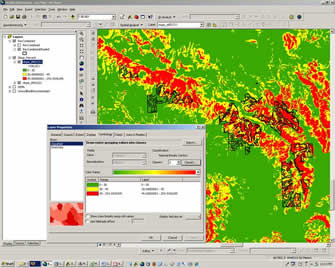
| We can help you use GIS to plan your project and facilitate your fieldwork. For example, the screen shot to the right shows a client-provided project shapefile being modified to exclude slopes in excess of 25%. The new shapefiles are used for the crew's field work and downloaded into their GPS units for their survey. |
 |
 |
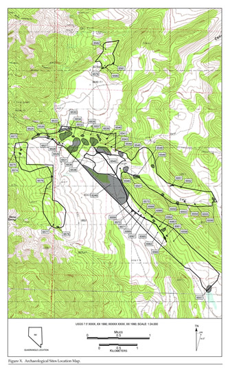
Managing your resource boundaries in a GIS format gives you a greater ability to communicate incremental field results with your clients, and allows you to be more flexible in making post-field modifications to your resource areas. Production of report graphics is more efficient and your typical managerial changes are less costly. |
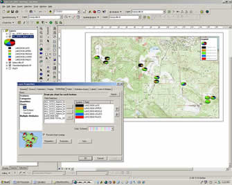
| GIS can also help in the analysis of your data and provide useful ways to present your analytical results. The screen shot on the right displays the results of a hydration analysis conducted on a number of nearby archaeological sites. This can easily be exported as a map for your final report. |
 |
Contact us with the particulars of your project for a free consultation on how you can benefit from our services. |

